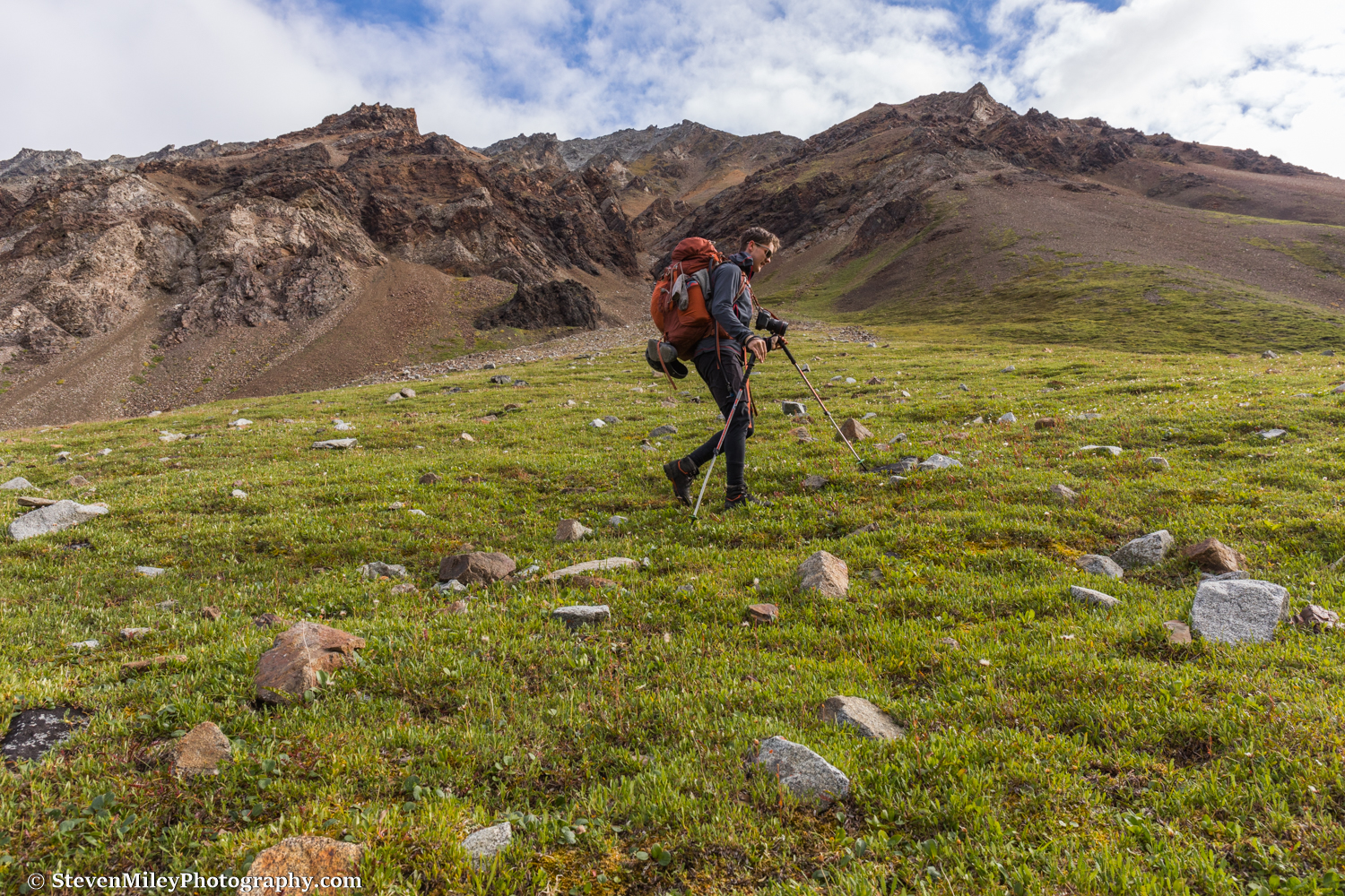
Buchanan Pass, the second highest point reached during the traverse. (Elevation: ~6300 feet.)
This is the third entry in a series covering my traverse from Black Rapids to Healy in early August 2018. Read Part I & Part II.
After reaching our first food drop we no longer had to worry about running behind schedule. With only one more glacier to cross and several relatively easy gravel bars and alpine valleys to follow, the remaining 80+ miles to Healy promised to go by much more quickly. However, continued wet and dreary weather would make it difficult to stay warm and we expected to encounter a few difficult water crossings along the way.
Day 7:
After saying goodbye to our companions who decided to fly out, the remaining four of us (Peter, Phillip, Grant and I) began hiking along the south edge of the East Fork Little Delta River to Gillam Glacier. Light rain was falling and we couldn’t see much through the dense fog. There was no sign of Mount Deborah or Hess Mountain up the glacier valley, which I found quite disappointing. The river raging beside us had carved steep walls in the bank which prevented easy gravel bar travel. Instead, we were forced to bushwhack and scramble over a few small hills on the way to the glacier. We passed this Dall sheep skull along the way, which symbolized the morning’s mood.
Gillam Glacier was a mess and crossing it to get around the East Fork Little Delta River was much tougher than I had expected it would be. We skirted a big lake in front of the glacier and picked our way around standing pools of water as we approached the terminus. The rain intensified as we hiked up and down over the steep hills on the moraine toward the north edge of the glacier, where we encountered a wide stream emptying into the lake. Hiking farther up the glacier to avoid crossing the stream looked like a significant detour, though we couldn’t tell exactly how significant due to the fog. Gigantic, 20-foot high chunks of ice had collapsed off the side of the glacier and were lying in the stream next to where we would otherwise have to cross. Peter scouted the stream and successfully crossed to the far side with the water reaching his thighs. After some hesitation the rest of us followed one-by-one, taking about a minute each to cross through the icy water. After a steep climb onto the bench above Gillam Glacier we spent the rest of the day marching over tundra and sidehilling along the slope above Buchanan Creek through the fog. We passed a couple shadowy caribou but couldn’t see much else.
Day 8:
When I unzipped the tent the next morning the tundra was sprinkled with wet snow. It was tough to put on my wet socks and hiking boots, but we were expecting Phillip’s girlfriend and her dad to drop McDonald’s to us from a plane later that day and that was enough motivation for me to get moving. Most of our gear was wet, but Peter was determined to keep his gloves dry in the cold rain by wearing plastic bags over them.
Light rain turned to snow as we hiked up Buchanan Creek toward Buchanan Pass. Once we entered the clouds everything became monochromatic. We hiked up the steep incline to the pass over slippery, snow-covered rocks and then found our way down the other side with a little help from the GPS. Continuing along the unnamed creek on the far side of the pass we encountered a couple grizzly bear cubs at close range, but the mother never showed herself. The cubs looked at us curiously for what seemed like two or three minutes, then moved into the brush.
The low cloud ceiling over the West Fork Little Delta River threatened to derail the McDonald’s air drop. When we neared the river we waited on the hillside for the plane, watching as smoke rose from the chimney of a hunting cabin down below. Finally, we heard the sound of a bush plane echo through the valley and we collectively started drooling as we waved our arms. A few packages fell from the sky containing maps, four McDonald’s Quarter Pounders and 20 Chicken McNuggets. The fast food certainly helped our morale, even if it barely made a dent in our appetites. More rain fell that evening but we were expecting the clouds to finally clear the next night.
Day 9:
The water level of the West Fork Little Delta River had visibly decreased overnight and we could tell from our campsite above the river it wouldn’t be difficult to cross. A plane shuttling hunters and their gear to the cabin landed multiple times on the gravel bar as we packed up and hiked down to the river. A hunting guide approached us to chat about the area and what we were doing, and we laughed when he asked what kind of waders we were using to cross the rivers. We crossed the river easily and hiked along the gravel bar until a major fork blocked our way and forced us to take a detour up a side valley to find a safe crossing spot. The rest of the way along the gravel bar was easy, though we had to cross a few channels here and there. We turned up a valley leading to our next pass as traces of sun appeared on the mountains for the first time in three days.
As the clouds cleared and the sun came out I attached a circular polarizer to my lens for the first time since the start of the traverse. Everybody’s mood instantly improved and the nameless valley we were hiking through might as well have been called Paradise. Sheep and caribou trails crisscrossed the steep scree slopes around us, and a small group of caribou ran to the opposite side of the valley as we approached.
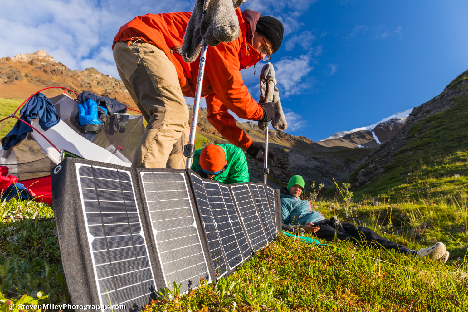
After nine days of backpacking we could finally set up camp in the sunshine! We set our clothes and gear out to dry and used solar panels to recharge our electronics. That night was probably the coldest we experienced during the traverse but it was worth being dry. By this time we could feel the finish line and we were looking forward to our first meal back in civilization.
Read Part IV.


