Donnelly Dome
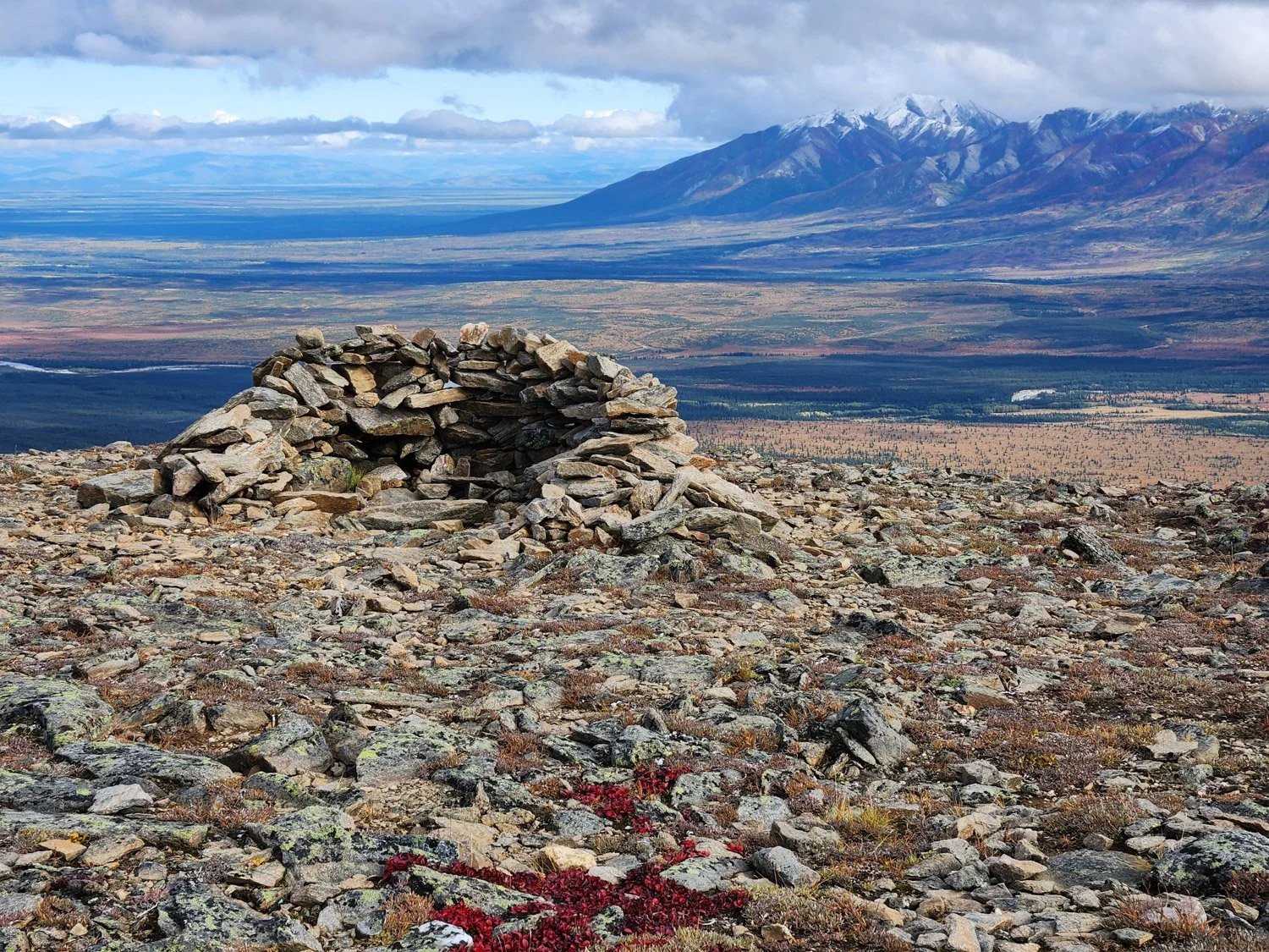
North Trail Info
Last Maintenance: Fall 2025
1.1 Miles, 1400 Feet Elevation Gain
Hiking Guide
GPX Track
East Trail Info
Last Maintenance: Summer 2026
1.55 Miles, 1650 Feet Elevation Gain
Hiking Guide
GPX Track
Donnelly Dome formerly chewed up and spit out beginners, and even advanced hikers would regularly get lost ascending or descending the mountain. However, significant improvements were made between 2024 and 2026 to both trails. Now, first time climbers regularly reach the summit successfully without getting lost on the way up or down, including families with young children. The east trail is a bit longer and steeper, though both trails include steep terrain. Prepare for windy conditions near the summit. Both trails are excellent for trail/mountain runners!
Bear Creek

North Trail Info
Last Maintenance: Summer 2025 (Note: minor deadfall along trail, but easy to step over or duck under. Feel free to bring a chainsaw to help clear it!)
1 Mile, 900 Feet Elevation Gain
Hiking Guide (coming soon)
GPX Track
South Trail Info
Last Maintenance: Summer 2026 (in progress; 0.5 miles of light/moderate brush remaining)
2.5 Miles, 2400 Feet Elevation Gain
Hiking Guide (coming soon)
GPX Track (coming soon)
The north trail is shorter, contains steeper terrain, and reaches tree line faster, while the south trail climbs much higher over a significantly longer distance while maintaining a moderate incline from the start all the way to its high point with few obstacles. Continuing beyond the end of the south trail is fairly straightforward with only moderate inclines, while continuing beyond the end of the north trail requires significant route finding over more challenging & interesting terrain. For a challenging day hike or overnight trip, try the classic “Bear Creek Loop”: start on either trail, cross over the headwaters of Bear Creek to the opposite ridge (and optionally climb the peak while doing so), return along the other trail for a 10+ mile adventure with 3500+ feet of elevation gain.
Rainbow Mountain
Trail Info
Last Maintenance: Summer 2026 (in progress; trail cleared to toe of rock glacier, very brushy beyond)
0.5 Miles, 900 Feet Elevation Gain
Hiking Guide
GPX Track - Rib Route
GPX Track - Beeline Route
Unlike the other trails covered on this page, the Rainbow Mountain Trail is not worthwhile in and of itself without continuing above tree line after the trail ends. Very experienced hikers with scrambling or rock climbing experience may attempt the summit of Rainbow Mountain over 4000 feet above the trailhead, but the cozy bench below the summit about 2800 feet above the trailhead makes for a worthwhile day hike or overnight camp spot with amazing views for those seeking a less challenging goal. The GPX routes provided here only show the route to the bench since a GPS track would not be accurate enough to follow a safe path around the many obstacles on the final climb to the summit up steep talus. Both routes to the bench are very steep, gaining over 2000 feet of elevation in the first mile with max grades near 60%, but the “Beeline Route” is straightforward and doesn’t require any exposed scrambling like the “Rib Route” does. You should think all the other routes on this page are easy before attempting this one. Rainbow Mountain is great training for Mount Marathon and other steep mountain races around Alaska!
Grizzly Creek Trail

Trail Info
Last Maintenance: Summer 2026
1.4 Miles, 1400 Feet Elevation Gain
Hiking Guide
GPX Track
Grizzly Creek Trail is hidden away along a small, unnamed creek, and almost no one knows it’s there. But it leads to the best views of the Hayes Range across the Delta River, and the extended route to the ridgeline above Jarvis Glacier has it all: creek hopping, steep ridge climbing, an optional challenging false summit, waterfalls, wildlife, spectacular cliffs, glacier views, and more.